Hike to Cobalt Lake on Vancouver Island - Must Do Trail near Tofino, BC
The journey to Tofino can be long. Why not break it up with a beautiful, challenging, and extremely rewarding hike? Or better yet, make this your ultimate destination! Take a look at the following video to see what the hike is like and read on to learn precisely how to reach Cobalt Lake, what you need for the hike, and other helpful information for this must-do dog-friendly hike on Vancouver Island.
Hike to Cobalt Lake (same trail as 5040 peak) an hour east of Tofino on Vancouver Island

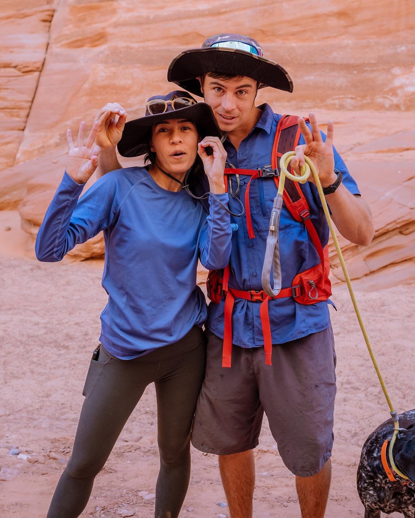
Evan, Melanny, and Penelope standing in front of the frozen Cobalt Lake in mid July 2022
Trail Stats
Distance (out & back): 1.9 miles (3 km)
Elevation gain - 1,800 ft (548 m)
Difficulty: Difficult. While short in distance, this trail is incredibly steep and full of thick, tangled, and slippery tree roots.
Trailhead and Route: Cobalt Lake Trail or 5040 Peak via Cobalt Lake Trail (goes past lake to the alpine hut)
Parking: There is ample parking at the trailhead or along the road depending on how far your vehicle makes it.
Dog Friendly?: Yes
Camping?: Yes
How To Get There

Final gravel road walk to 5040/Cobalt Lake trail head
From Nanaimo travel about 2 hours west towards Tofino along the Pacific Rim Hwy (Hwy 4) until you reach the Marion Creek Forest Service Rd. If you reach the Kennedy River rest stop you’ve gone too far.
From Tofino, travel west for about 1 hour. Marion Creek Forest Service Rd will be on your right about 8 mi (13km) after the Kennedy River rest stop.
Once on the forest service road, it is recommended to proceed in a 4x4 vehicle, especially if the road is wet. That said, in July 2022, we managed to make it 8 of the 9.6 km from the highway to the trailhead in our standard front-wheel drive Promaster with all-terrain tires. This is a wide gravel road with some short but steep hills requiring a vehicle that can hold traction going uphill on loose gravel.
The Trail
The trail officially begins at the “5040” sign posted on a tree just off the forest road parking area. The first .7 mi (1 km) is shaded with old-growth trees. It’s also the most involved section of the trail requiring lots of high steps over thick spider-web-like clusters of tree roots. That said, the trail here is very easy to follow allowing you to focus on climbing.

5040 Trailhead sign at start of trail

One of the many roots encountered
Once you’re out of the trees, the trail becomes less obvious. We did this hike in early July 2022 and there was still snow on the ground as soon as we came out of the trees (around 1km into the trail). Footsteps in the snow guided our way toward the lake. If not for that, we definitely would’ve had to rely on our All Trails maps to stay on the trail.

What a view of triple peak from Cobalt Lake

Such a fun dog-friendly hike for active pups
After 1 mi (1.6 km) from the trailhead, you’ll reach Cobalt Lake! From here, we personally decided not to push up to the hut since our feet were already soaked from the snow. The lake’s views are still stunning and well worth the climb!
If you’re interested in more info on the hut and hike to 5040 Peak, check out this post.
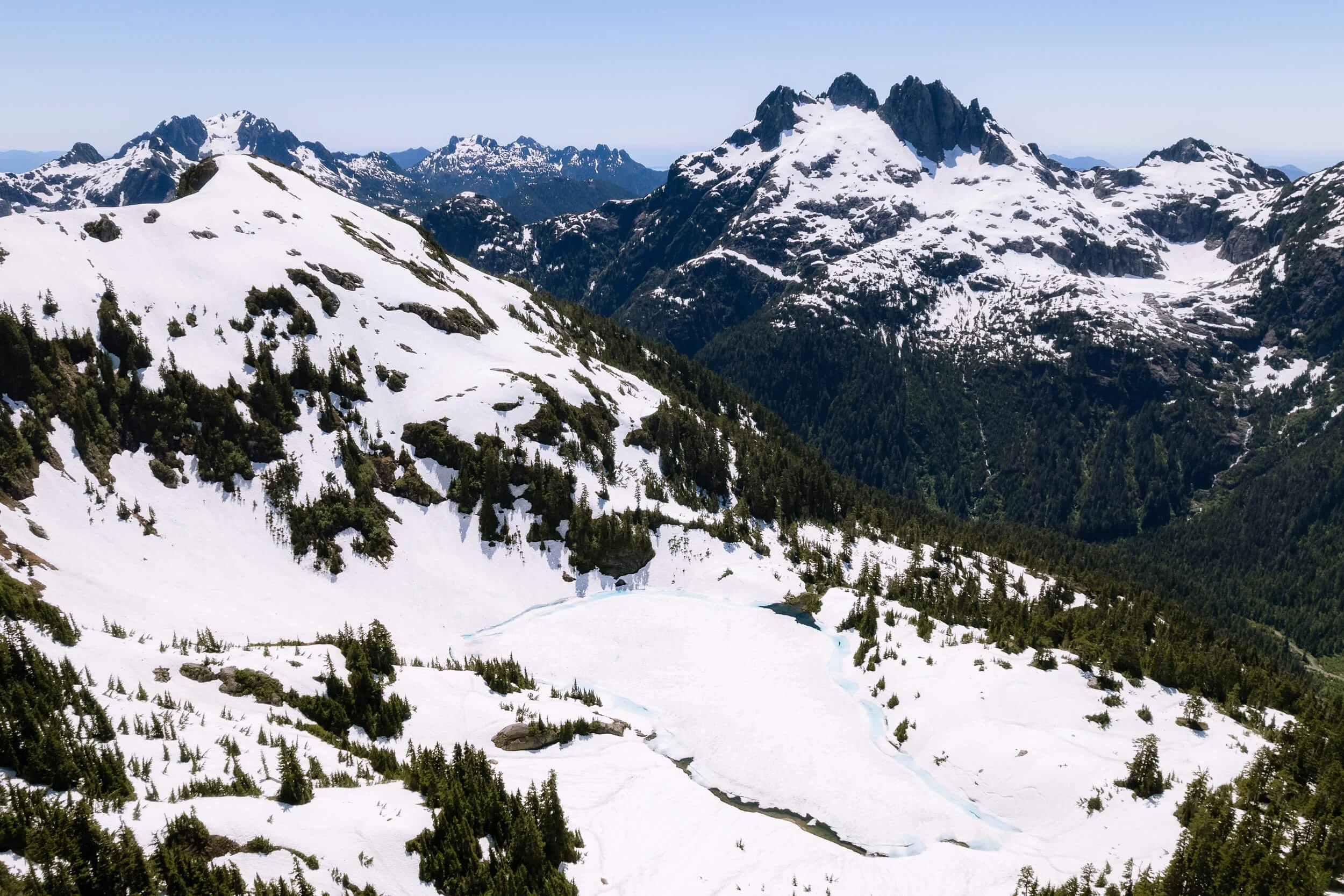
Drone view of frozen Cobalt Lake from the viewpoint of the alpine hut below 5040 peak
The return hike down the snowy part is much quicker but the trees section will still take some time. The tree roots are tricky and require concentration with thoughtful foot placement.
This hike is steep and relentless with 1,784 ft (544 m) of elevation gain in 1 mile (1.6 km) but we had so much fun! We’d love to come back in late summer with our backpacking gear for a full day of exploring the area, including 5040 peak. You can also make reservations to stay in the hut for around $150 CAD a night. Check out the Alpine Club of Canada website for more info.
Things to know before you go
We did this hike in early July 2022 and there was still snow starting around .7 miles (1.1km) into the trail. That is over halfway to the lake but is something to keep in mind if you’re going in early summer.
We used our microspikes but you could get away without them past last June.
Plan your hike for a clear day. The views are incredible!
Bring a bug head net. Trust me, you’ll wish you had one if not! The bugs were ruthless.
On that same note, a light pair of pants and a jacket also helped keep me sane when the bugs got really bad.
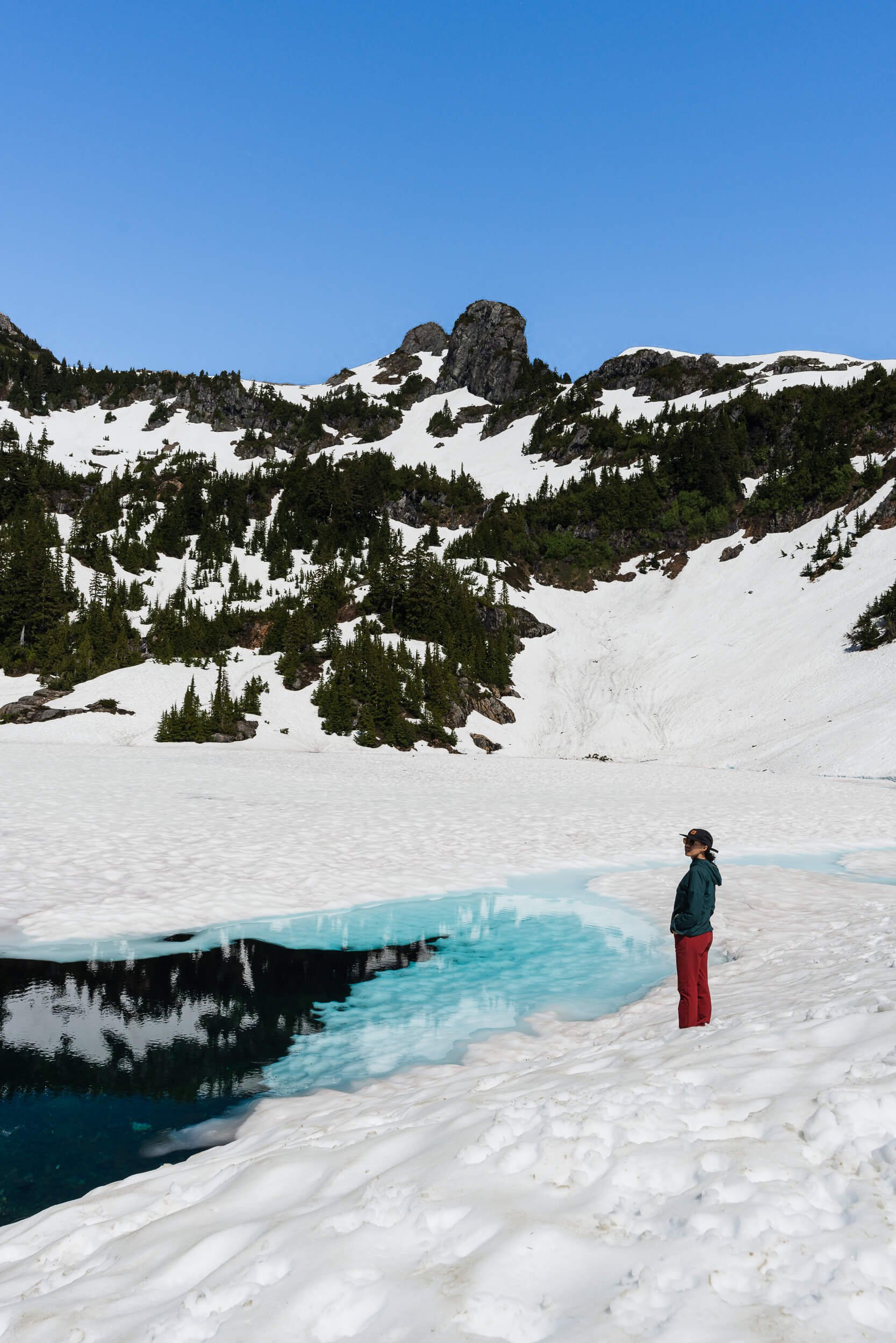
Beautiful blue frozen lake

Bug net is a must!

So many tangled roots
What To Bring On Your Hike
The following contains affiliate links, which means if you click a product link we will receive a small commission fee.
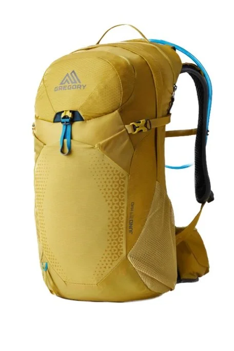
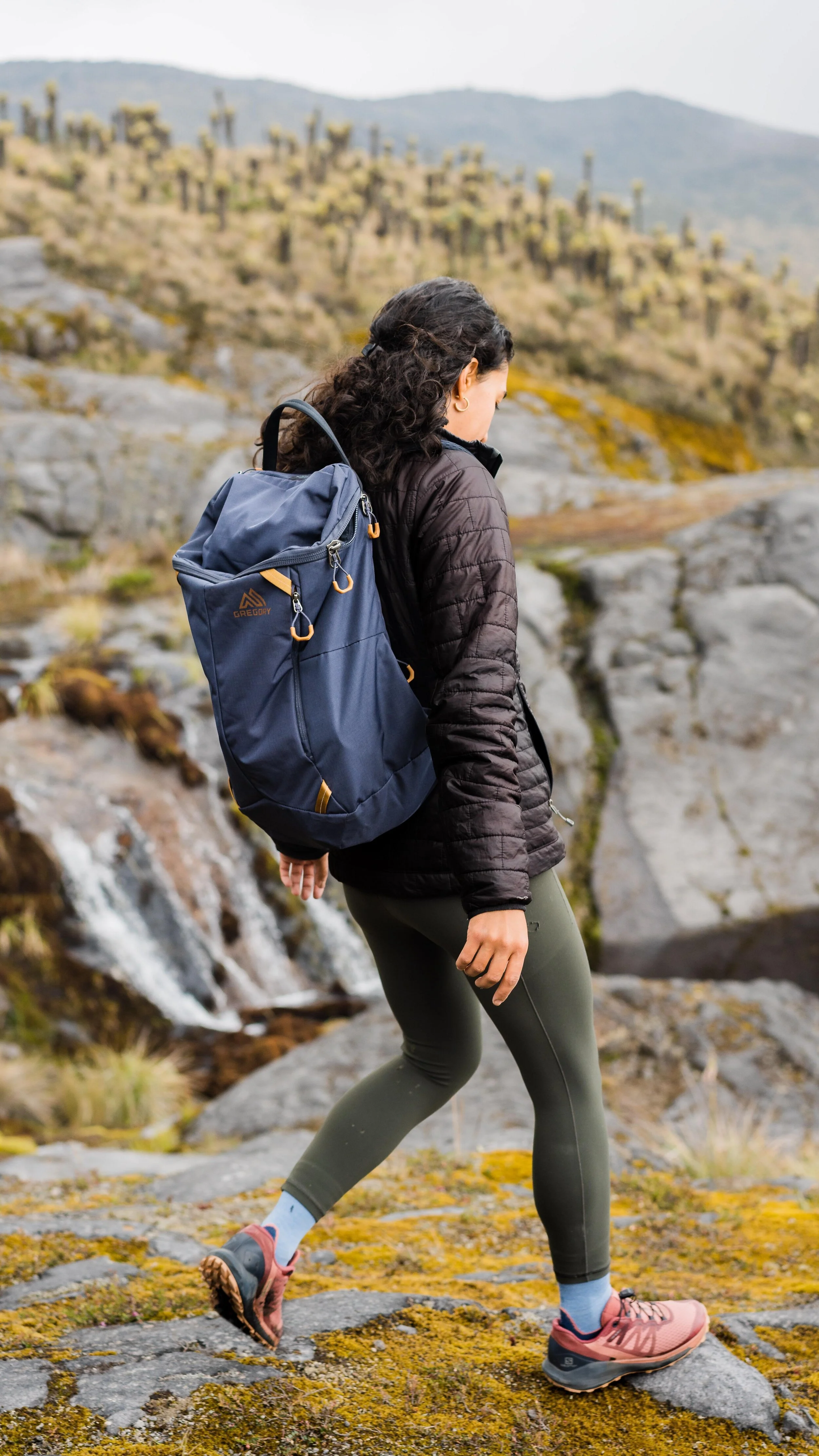
Backpack
This Juno 24 H20 is so comfortable and the perfect size for a day hike. Includes hydration reservoir.

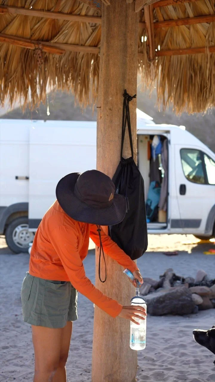
Hydration Reservoir
You’re going to want hands free hydration while hiking through the old growth.
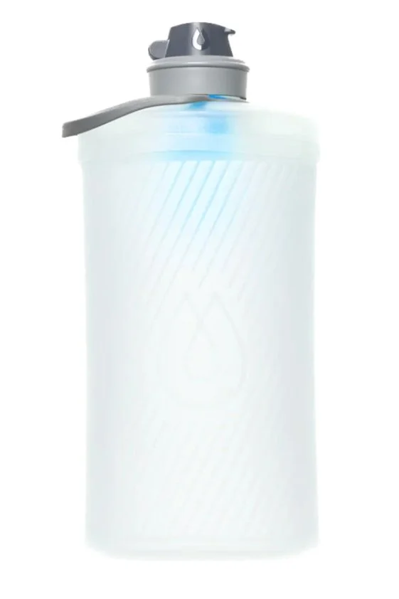
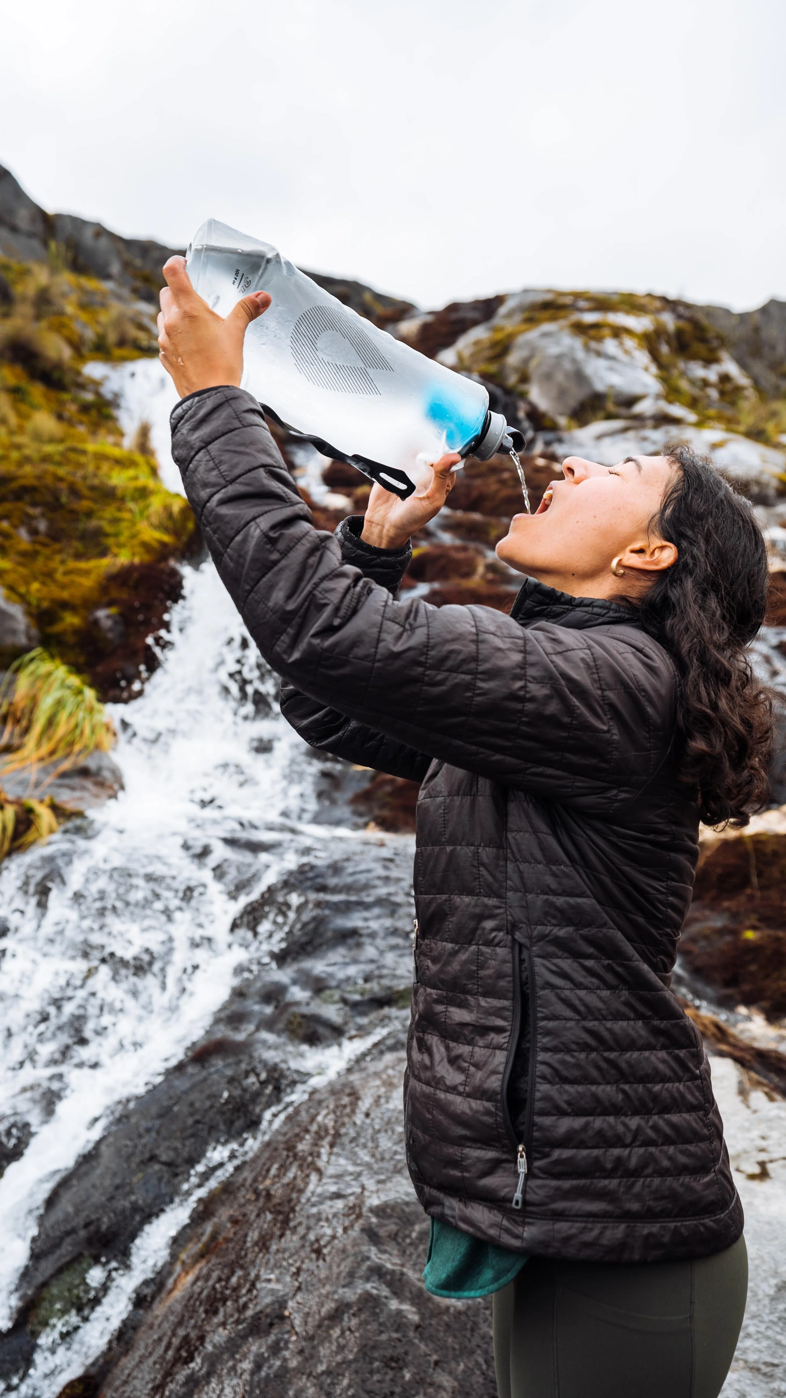
Water Bottle + Filter
For a more lightweight option, opt for the HydraPak Flux 1.5L+ with a built-in filter.
Use code outofthisvan15 for 15% off any Gregory Packs item.
Use code outofthisvan10 for 10% off any HydraPak item.
Hiking Boots
This trail is steep and slippery in some sections so it’s important to have the right shoes. I wore my On Running Cloudrock hiking boots and they held up great. They aren’t waterproof plus the snow was over ankle-deep in some sections but they do dry quickly and have great traction. I’ve had my pair for 2 years and they are so comfortable! Available in men’s and women’s styles.
Sunscreen
You can’t go wrong with Elta MD sunscreen.
Trail snacks
Besides water, trail snacks are probably the next most important thing you could have in your pack. My personal favorite snack right now is Honey Stinger Waffles. But pack whatever feels right for you! My other go-to snacks are protein bars and pretzels.
Check out these other awesome hikes!

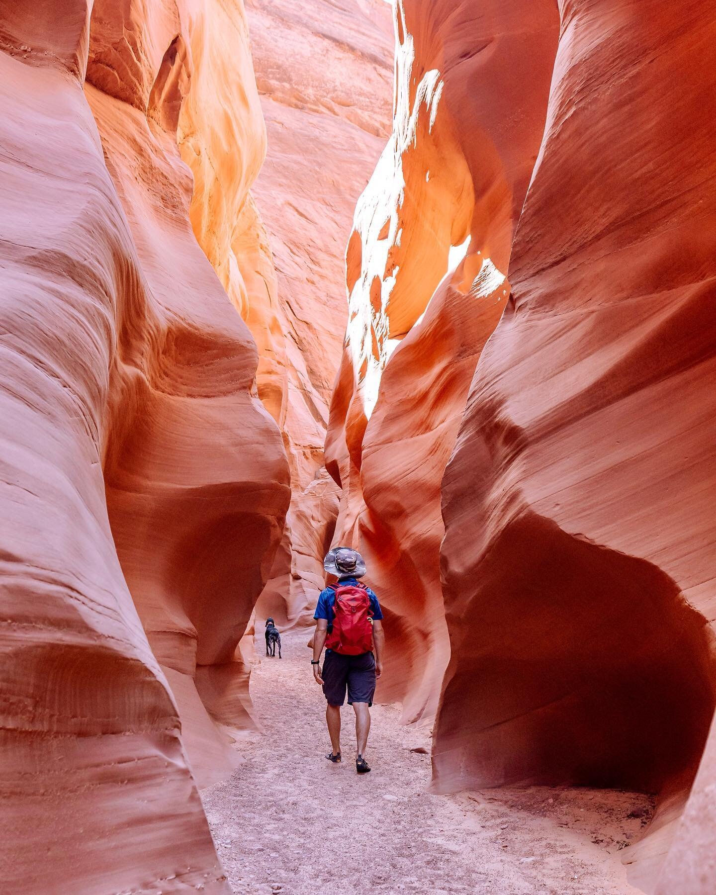

How to kayak to Antelope Canyon with your dog, what to expect, what to bring, and more helpful tips for humans and dogs.